This week’s plannning applications are in Glebe Avenue, Swakeleys Drive, Swakeleys Road and Woodstock Drive. See our map of live applications. (Recently approved or rejected applications are removed.)
This week’s plannning applications are in Glebe Avenue, Swakeleys Drive, Swakeleys Road and Woodstock Drive. See our map of live applications. (Recently approved or rejected applications are removed.)
Thanks to an interactive mapping service provided by The Telegraph, we’ve been able to plot the Green Belt parts of Ickenham. Link to the original for exact detail, but here’s a close approximation (the darker green is Green Belt):

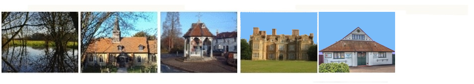
Trawling around looking for a definitive Green Belt map for Ickenham (here’s a clue), I noticed this description of Ickenham in Hidden London. We are, apparently, “A genteel residential suburb situated between Uxbridge and Ruislip.”
Hidden London claims to take, “an informative, historically inclined look at a variety of the capital’s more obscure attractions, curiosities, districts and localities.”
Because of the extended Easter weekend, just a few updates this week. See Planning Applications map
Every Monday, we receive planning updates. We then see how quickly we can get the live applications (i.e. undecided) online. Not very quickly, this week. But they’re all there now.
If you’re curious about where the Conservation Area is in Ickenham, the new map will give you a general idea. A link on the page takes you to LBH’s version.
Here’s a preview:

